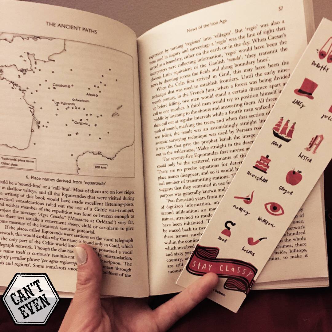


The author's theory is that the Druids were ancient geocachers who used meridiens, and solstice and equinox lines to construct a mental grid mapping Gaul, Iberia, and Britain, which was then used to site oppida, tribal boundaries and battlefields.
He may be on to something, but I suspect that if you look at enough scattered points and lines on a map you can find a pattern.
12 likes